Central Florida Geology – Rocks, Sinkholes & Travel Insights
When you start looking at central Florida geology, the study of rock layers, landforms, and water systems that shape the heart of the Sunshine State, the first thing you notice is the massive limestone bedrock that underlies almost everything. This limestone, a porous calcium carbonate rock formed millions of years ago acts like a sponge, letting water flow through it and creating the famous springs, rivers, and, yes, occasional sinkholes that locals talk about.
Why the Geology Matters
The limestone doesn’t sit still. Over time, acidic rainwater and groundwater dissolve it, carving out what geologists call karst topography, a rugged landscape full of caves, underground streams, and natural depressions. This process gives central Florida its unique look – think rolling hills of low ridges, hidden caverns, and crystal‑clear springs that draw swimmers from all over. The karst system also creates pathways for the water that feeds the Floridan Aquifer, one of the world’s largest underground water reservoirs, which supplies drinking water to Kissimmee, Orlando and the surrounding communities.
Because the limestone is so soluble, the ground can suddenly give way, forming a sinkhole. These sinkholes, depressions that appear when the rock underneath can no longer support the surface can range from a few feet wide to massive craters that swallow entire houses. Local builders keep a close eye on soil surveys and mapping data to avoid risky spots, and the city’s building codes reflect that reality. Even the real‑estate market feels the impact – properties in low‑risk zones often command higher prices, while insurance rates can spike in areas with a history of sinkhole activity.
The geology isn’t just a behind‑the‑scenes detail; it directly shapes the tourism experience. Many of the region’s biggest draws – the natural springs that feed into theme‑park water rides, the kayaking routes through hidden underground rivers, the scenic trails that wind over limestone outcrops – all exist because of karst. Knowing the terrain helps visitors choose the best time to explore, whether they want to paddle a calm spring in winter or avoid the crowds that flood the parks during July, the state’s busiest tourist month.
On the flip side, the same geological features influence everyday life for residents. The Floridan Aquifer’s abundance keeps water costs relatively low, which feeds into the overall cost‑of‑living calculations many families use when deciding whether Kissimmee is cheap enough for them. At the same time, local officials track poverty rates and rent trends – topics covered in recent posts – because any shift in population can affect land use, which in turn puts pressure on the fragile karst system.
All of these connections – limestone forming the backbone, karst shaping the landscape, sinkholes warning us where the earth is thin, and the aquifer feeding the community – create a web of cause and effect that defines central Florida’s character. Below you’ll find a curated collection of articles that dive deeper into each of these pieces, from how to plan a budget‑friendly Disney trip while staying safe from sinkhole zones, to the newest rent cost data in Kissimmee, and even a look at the region’s busiest tourist month. Use these insights to plan smarter trips, understand local life, or just satisfy your curiosity about the rocks beneath the sunshine.
- October 6 2025
- 8 Comments
- Lucas Harrington
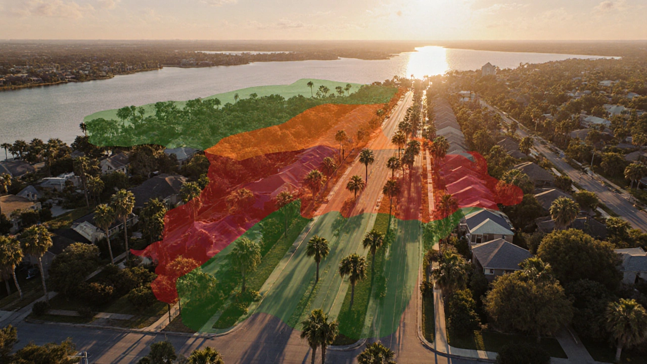
Kissimmee Sinkhole Risk: How Prone Is the City to Sinkholes?
Kissimmee sits on karst limestone, making sinkholes a real concern. Learn the geology, recent incidents, risk‑assessment steps, and mitigation tips for homeowners and buyers.
- Disney World Vacations (35)
- Kissimmee Florida (29)
- Florida travel (26)
- Crypto & Blockchain (10)
- Information & Privacy (5)
- Blockchain & Cryptocurrency (4)
- Disney Parks & Tips (3)
- Disney History (3)
- Travel (2)
- Travel Tips (2)
Categories
- January 2026 (6)
- December 2025 (29)
- November 2025 (41)
- October 2025 (16)
- September 2025 (6)
- August 2025 (3)
- July 2025 (3)
- June 2025 (2)
- May 2025 (2)
- April 2025 (1)
- March 2025 (6)
- February 2025 (11)
Archives
- Florida beaches
- Disney World
- Florida
- Florida travel
- Kissimmee demographics
- Kissimmee
- Kissimmee Florida
- Orlando tourism
- Disney park hours
- Disney World tips
- Disney vacations
- Disney 100
- theme park tips
- Disney celebration
- tourism
- Disney secrets
- Disney history
- travel
- Disney World crowd calendar
- Disney World cost