Kissimmee Walkability Quiz
Kissimmee is a mid‑size city in Central Florida with a 2023 population of roughly 73,000 residents. Situated about 20 miles south of Orlando and adjacent to the world‑famous Disney resorts, Kissimmee draws millions of tourists each year while serving a growing local community.
Why Walkability Matters in Kissimmee
Whether you’re a visitor trying to squeeze in a quick stroll between attractions or a resident commuting to work, the ability to move on foot affects safety, health, and pocket‑book savings. In a region where rental cars dominate, a solid Kissimmee walkability score can mean fewer parking hassles, lower emissions, and a more livable streetscape.
Understanding the Walkability Score
Walkability Score is a metric created by Walk Score that rates how easy it is to run daily errands without a car. Scores range from 0 (car‑dependent) to 100 (walker's paradise) and factor in distance to amenities, pedestrian infrastructure, and public transit access. Kissimmee’s overall score sits at 58, placing it in the “somewhat walkable” bracket. That’s lower than downtown Orlando (71) but higher than many suburban enclaves around the state.
Key Walkability Drivers in Kissimmee
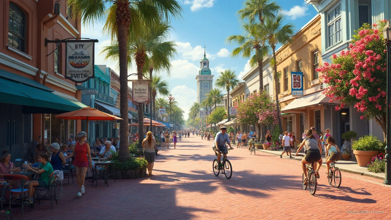
- Downtown Kissimmee - The historic core spans roughly 0.6sqmi, featuring brick‑paved streets, mixed‑use buildings, and a compact network of sidewalks. It scores 76 on the Walkability Score, making it the most pedestrian‑friendly part of the city.
- Lynx Bus System - Central Florida’s regional transit agency runs 20 routes through Kissimmee, with an average frequency of 30minutes on weekdays. While coverage is decent, service drops after 7p.m., limiting late‑night walking options.
- Sidewalk Network - Kissimmee maintains about 115miles of sidewalks, but gaps exist on some arterial roads like US‑192 and County Road535, where pedestrians must rely on crossing islands.
- Bike Lanes & Multi‑Use Paths - The city has added 12miles of protected bike lanes, most of which double as walking paths for families and tourists.
- Lake Tohopekaliga - Often called “Lake Toho,” this 22‑square‑mile lake offers a 30‑mile trail loop with benches, lighting, and scenic views, attracting joggers and walkers alike.
Neighborhood Snapshots
Walkability can vary dramatically from one subdivision to another. Here are three representative areas:
- Sun ’N Lake - This master‑planned community features tree‑lined boulevards, pedestrian pathways linking schools, and a central shopping plaza within a 5‑minute walk. Walk Score: 62.
- Poinciana - A more car‑centric suburb with limited sidewalks and a dispersed retail layout. Walk Score: 38.
- Historic Old Town - Concentrated shops, restaurants, and museums within a walking radius of 0.3mi. Walk Score: 78.

Comparing Kissimmee with Nearby Cities
| City | Walk Score (0‑100) | Population Density (persqmi) | Public Transit Rating (0‑5) | Sidewalk Coverage (miles) |
|---|---|---|---|---|
| Kissimmee | 58 | 1,200 | 3.1 | 115 |
| Orlando | 71 | 3,300 | 4.2 | 210 |
| Lake Buena Vista | 49 | 800 | 2.5 | 78 |
Safety and Comfort for Pedestrians
Crime rates in Kissimmee are comparable to other Central Florida municipalities, with most incidents concentrated around highway intersections rather than downtown sidewalks. The city’s Police Department runs a “Safe Streets” program that installs additional crosswalk lighting and accelerates response times at pedestrian‑heavy zones.
Heat is a real factor. Summer temperatures regularly exceed 90°F (32°C) with high humidity. Most sidewalks incorporate shade trees and occasional misting stations, especially near tourist hotspots like the Old Town entertainment district.
Practical Tips for Walking Around Kissimmee
- Carry a reusable water bottle - hydration stations are scarce outside the downtown core.
- Use the Walk Score app to locate high‑score blocks.
- Plan routes with the Lynx bus schedule if you need a mid‑day break from walking.
- Prefer shaded streets (e.g., Old Town Loop, US‑192 near Kimberly Road) during peak afternoon heat.
- Watch for construction zones; the city posts detour maps on its official website.
Future Projects That Could Boost Walkability
The Kissimmee City Council approved a Complete Streets Initiative in 2024, allocating $12million to widen sidewalks, add curb‑raised crosswalks, and install bike‑share stations along the Lake Tohopekaliga Trail. Completion is slated for 2027 and is expected to raise the city’s overall Walk Score by roughly 10 points.
Another upcoming project is the mixed‑use redevelopment of the former Kissimmee Airpark site, which will introduce 250 new residential units, a grocery store, and a pedestrian plaza directly adjacent to the Lynx bus hub.
Bottom Line: Is Kissimmee Walkable?
Short answer: Yes, but with caveats. Downtown and the historic Old Town area are comfortably walkable, especially for tourists looking to hop between restaurants, shops, and attractions. Residential neighborhoods like Sun ’N Lake are decent for everyday errands, while places such as Poinciana rely heavily on cars. Overall, the city’s score of 58 signals “somewhat walkable” - better than many sprawling Florida towns, but still behind Orlando’s more mature pedestrian network.
If you’re planning a vacation stay or considering a move, focus your daily routes around the central districts, take advantage of the Lynx bus for longer hops, and keep an eye on the city’s upcoming infrastructure upgrades. Over the next few years, Kissimmee is set to become noticeably more foot‑friendly.

Frequently Asked Questions
What is the current Walk Score for Kissimmee?
Kissimmee’s overall Walk Score is 58, placing it in the “somewhat walkable” category. Downtown scores higher at 76, while many outlying neighborhoods fall below 50.
How safe is it to walk at night in downtown Kissimmee?
The city’s police presence is strongest around the entertainment district and the lakefront. Night‑time walkers should stick to well‑lit streets, use crosswalk signals, and consider the Lynx bus if returning late.
Are there any dedicated pedestrian bridges or tunnels?
Kissimmee currently has two pedestrian overpasses: one at the intersection of US‑192 and John Livingstone Memorial Highway, and another near the Lake Toho trailhead. No tunnels exist yet, but the Complete Streets plan includes two more bridges by 2027.
Can I rely on public transportation for daily commuting?
Lynx provides 20 routes covering most of Kissimmee and connections to Orlando. Frequency is roughly every 30minutes on weekdays, but service tapers after 7p.m., so commuters may need to combine walking with rideshare for evenings.
What are the best walking routes for tourists?
Start at Old Town’s historic square, head north on Old Town Boulevard to the lakefront promenade, then loop back via the Lake Toho Trail. This path covers shops, restaurants, and scenic waterfront views within a 2‑mile walk.
Will upcoming projects improve walkability?
Yes. The Complete Streets Initiative and the former Airpark redevelopment will add sidewalks, crosswalks, and bike‑share stations, potentially raising the city’s Walk Score by up to 10 points once completed.
How does Kissimmee’s walkability compare to Orlando?
Orlando scores higher (71) due to a denser downtown core, more extensive transit, and greater sidewalk mileage. Kissimmee trails in overall coverage but offers a more relaxed, tourist‑friendly walking environment in its historic district.

